Friday 29th July, 2011
Whalsay is approximately 5 miles long and 2 miles wide. The name means Whale Island and it is often a good place to see whales.
Whalsay was known for playing an important role in the salt fishing trade. This trade was for years in the hands of merchants from the north of Germany. Ships from Hamburg, Bremen and Lubeck would sail to Shetland every summer bringing a cargo of seeds, cloth, iron tools, salt, spirits, luxury goods and cash. They would exchange these for the Shetlanders’ fish.
The business was tightly controlled by a group known as the Hansa or Hanseatic League. This was an economic alliance of trading cities and their merchant guilds that dominated trade along the coast of Northern Europe. The Hanseatic cities had their own legal system and systems of protection and aid.
The League was originally created to protect the commercial interests of the merchants in the places they visited. Import duties imposed after the Treaty of Union between England and Scotland in 1707 finally broke their hold.
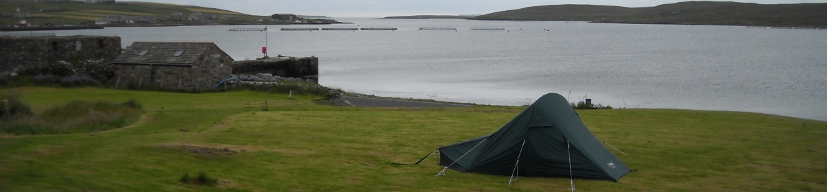
By the harbour in Symbister, close to where the ferry docks, is one of the two bods (small warehouses) used for the saltfish. It’s possible to rent a very large and heavy old key for £1 from the local shop to gain acces to the bod. Inside there are just 2 rooms – one upstairs and one downstairs. Both rooms have an exhibition on the salt fishing and the Hanseatic League.
The Walk
Approx 5 miles / 8km (though I probably walked more with all the backtracking and zigzagging
About 4 hours including stops
OS Explorer 468; Landranger 2
Start – park at Nisthouse just through Isbister
Grid ref – HU581641
 After parking the car in a bay overlooking the sea I walked back along the short bit of road to Loch Isbister. The loch is only small. The houses all looked quite big and were each standing on their own patch of ground. A couple of new wooden houses were being built. It all looked quite prosperous. One of Ann Cleaves books (Red Bones) set on Whalsay refers to the wealth of the locals being based on fishing and from the look of the houses I could see that there definitely seemed to be some wealth here.
 I walked along the north side of the loch through a series of gates and past a few plantiecrubs (rings of stone walling just over waist height – they were used to plant cabbages in to protect them). It was quite boggy in places. Then I headed north east and gained height to cross the moorland. This was really boggy and swampy and I spent a lot of time zigzagging and backtracking to pick my way through the driest bits. Consequently it took a lot longer than it should have done. Halfway across the moor are the remains of a chambered cairn. There is a small rectangular hollow in the ground lined with flat stones. As I dropped down from the moor in the north east corner of the island I came close to the road, a few houses and the airstrip. To the east and north of the airstrip is a golf course – Britain’s most northerly.

